Moonrise and Moonset Calculator: Plan Your Observation

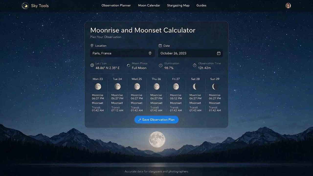
Moonrise and Moonset Calculator: Plan Your Observation
Enter the observation date, coordinates, and correct timezone in the Moonrise and Moonset Calculator to find when the Moon reaches your local horizon. Then compare moonrise, upper transit, moonset, phase, twilight, and the real horizon at your site. A calculated time is an astronomical reference, not a guarantee that terrain, buildings, haze, clouds, or trees will permit immediate visibility.
Key Takeaways
- Moonrise and moonset depend on the date, coordinates, and time reference.
- Upper transit and altitude are often more useful than moonrise alone for detailed lunar observation.
- A civil date can contain no moonrise or no moonset even when the calculator is working correctly.
- Calculated horizon times assume a modeled atmosphere and an unobstructed horizon.
- The best observing period is the overlap between suitable sky conditions, a useful Moon position, and the target’s requirements.
The sections below turn the calculator’s times into a practical observation window.
How Do You Use the Moonrise and Moonset Calculator?
Select the date and observing location, verify the timezone, and compare the Moon’s horizon window with the hours you intend to observe.
1. Choose the Local Observation Date
Use the civil date that applies at the observing site.
This matters near midnight because the same astronomical event can appear on different calendar dates in different timezones. For a multi-night trip, calculate every night separately rather than assuming the Moon will rise a fixed number of minutes later each day.
2. Enter Accurate Coordinates
Latitude and longitude determine how the Moon’s apparent path meets the observer’s horizon.
A nearby city may be adequate for broad planning. Use the actual observing-site coordinates when timing a low Moon against a ridge, coastline, building, or photographic foreground.
Check the sign convention required by the calculator. Many astronomical services use positive values for north latitude and east longitude.
3. Verify the Timezone and Daylight-Saving Rule
An incorrect time reference can shift every displayed event.
Check whether the calculator uses:
- a named timezone;
- a fixed UTC offset;
- the timezone configured on the device; or
- Coordinated Universal Time.
A fixed UTC offset does not automatically apply a city’s historical or future daylight-saving changes. Use the offset that applies at the selected location on the selected date.
4. Read the Complete Result
When available, record:
- moonrise;
- upper transit;
- moonset;
- rise and set azimuth;
- altitude at transit;
- phase;
- illuminated fraction;
- sunset and twilight times.
The Moon Phase Calculator helps interpret illumination and waxing or waning status. The Astronomical Twilight Calculator helps identify the end of evening astronomical twilight and the beginning of morning astronomical twilight when evaluating the available dark-sky window.
5. Compare the Result with Your Session
A Moon that rises at 11:50 p.m. does not affect a session ending at 10:00 p.m.
A Moon that is technically above an ideal horizon may still be hidden by a mountain or tree line. Treat the calculation as one layer of the plan, then add weather, terrain, access, setup time, and equipment needs.
What Does Each Calculator Result Mean?
| Result | Meaning | Best planning use | Important limitation |
|---|---|---|---|
| Moonrise | The predicted horizon event associated with the Moon’s apparent disk rising | Planning the earliest possible lunar appearance | Real terrain or poor visibility can delay first sight |
| Moonset | The corresponding horizon event while the Moon is descending | Finding the end of a lunar window or beginning of a moon-free period | A raised western horizon can hide the Moon earlier |
| Upper transit | The instant when the Moon’s center crosses the observer’s meridian at upper culmination | Finding when the Moon is usually highest during a visible passage at low and middle latitudes | High-latitude geometry may behave differently |
| Rise or set azimuth | Direction measured clockwise from true north | Choosing an open horizon or aligning a foreground | A magnetic compass requires declination correction |
| Altitude at transit | Angular height of the Moon’s center at transit | Determining whether transit occurs at a useful elevation | A transit can occur below the horizon |
| Illumination | Percentage of the apparent lunar disk lit by sunlight | Estimating brightness and visible shape | It does not alone identify waxing or waning |
| Phase | A named position in the lunar cycle | Estimating broad visibility patterns | Exact local times still require coordinates |
Upper culmination is the higher of the Moon’s two daily meridian crossings.
How Are Moonrise and Moonset Defined?
Standard astronomical almanacs define moonrise and moonset for a level, unobstructed horizon under assumed atmospheric conditions.
In the U.S. Naval Observatory convention, the calculation uses the Moon’s center together with atmospheric refraction, apparent lunar radius, and horizontal parallax. Under normal conditions near sea level, the Moon’s upper limb then appears tangent to the horizon.
The calculation treats the Moon as a complete disk regardless of phase. For a crescent Moon, the geometric upper limb used by the calculation may therefore be dark rather than visibly illuminated.
This distinction matters because a tabulated moonrise is a reproducible astronomical event, not necessarily the moment when an observer first notices the bright crescent.
Why Can Observed Visibility Differ?
The model cannot know the exact state of:
- a mountain or ridge on the horizon;
- buildings or trees;
- cloud, smoke, dust, or haze;
- temperature and pressure near the horizon;
- the observer’s precise viewing position.
A listed rise time should therefore be treated as the ideal-horizon reference.
Which Inputs Affect the Result Most?
| Input | Why it matters | Possible result of an error |
|---|---|---|
| Date | The Moon changes position from one day to the next | Events are calculated for the wrong lunar position |
| Latitude | Changes the angle at which the Moon’s path crosses the horizon | Rise, set, and transit can shift |
| Longitude | Connects Earth’s rotation with local time | All local clock times shift |
| Timezone | Converts the event into civil time | A correct event appears at the wrong hour |
| Daylight-saving rule | Alters local clock time where applicable | A common one-hour error |
| Observer height | Can affect topocentric geometry and modeled atmospheric refraction; treatment of horizon dip varies by service | Usually a small timing difference, but potentially larger during shallow high-latitude horizon crossings |
| Local horizon | Determines when the Moon clears real obstructions | Actual appearance differs from the ideal prediction |
| Atmosphere | Changes refraction and near-horizon visibility | Observed timing may differ from the table |
Location is not merely a display preference. It is part of the astronomical calculation.
Original Planning Framework: The Three-Window Method
A rise-and-set table becomes useful when it is converted into three overlapping time windows.
Window 1: The Sky Window
The sky window is the period when the sky is suitable for the intended task.
A moonrise photograph may begin during civil or nautical twilight. Observing faint galaxies usually benefits from the interval after evening astronomical twilight ends. Lunar surface viewing can begin before the sky is fully dark.
Window 2: The Moon Window
The Moon window is the time when the Moon is above the ideal horizon.
For low-altitude viewing, shorten this window to account for hills, buildings, trees, haze, and atmospheric extinction.
Window 3: The Target Window
The target window is the period when the subject is correctly positioned.
A landscape photograph may require a specific lunar azimuth. A meteor-shower plan must account for the radiant and Moon together. A deep-sky target may require the Moon to be below the horizon or well separated from the target.
| Goal | Required overlap |
|---|---|
| Observe lunar detail | Suitable sky + Moon above the horizon + useful altitude |
| Photograph moonrise | Moonrise period + open eastern horizon + correct foreground alignment |
| Observe faint deep-sky objects | Astronomical darkness + Moon below the horizon or well separated |
| Watch a meteor shower | Shower peak + usable darkness + limited lunar interference |
| Create a moonlit landscape | Moon above the horizon + useful phase + suitable direction |
| Photograph a setting crescent | Moonset period + open western horizon + useful twilight |
The best session is the interval in which all necessary windows overlap.
How Do You Calculate the Overlap?
For a moon-free evening deep-sky session, define:
- Session window: the planned start and end time;
- Dark-sky window: from the end of evening astronomical twilight until morning astronomical twilight begins;
- Moon-free window: before moonrise or after moonset.
For an evening session before moonrise:
Usable start = the later of the session start and astronomical-twilight end
Usable end = the earlier of the session end and moonrise
If the usable end occurs before the usable start, the planned session contains no fully dark, pre-moonrise interval.
This rule is a scheduling method, not a brightness model. It does not account for clouds, artificial light pollution, lunar angular separation, terrain, or the gradual effect of a low Moon.
Worked Example: From Calculator Output to a Decision
The following values form a hypothetical planning example. They are not a prediction for a real date or location.
Example Inputs
- Session: 9:00–11:30 p.m.
- Astronomical twilight ends: 8:48 p.m.
- Moonrise: 9:37 p.m.
- Upper transit: 3:06 a.m.
- Moonset: 10:11 a.m.
- Phase: Waxing Gibbous
- Illumination: 68%
- Eastern horizon: Partly blocked by trees
Calculated Overlap
The session begins after astronomical twilight has ended.
- Usable start: later of 9:00 p.m. and 8:48 p.m. = 9:00 p.m.
- Usable end: earlier of 11:30 p.m. and 9:37 p.m. = 9:37 p.m.
- Fully dark, pre-moonrise interval: 37 minutes
- Remaining session after calculated moonrise: 1 hour 53 minutes
Trees may delay direct visual appearance, but the delay is specific to the site and should not be assumed from the astronomical table alone.
| Observer | Best use of the example session |
|---|---|
| Deep-sky observer | Use 9:00–9:37 p.m. for the faintest targets |
| Lunar observer | Set up before 9:37 p.m. and observe after the Moon clears the trees |
| Landscape photographer | Confirm rise azimuth and foreground alignment before the event |
How Does Moon Phase Relate to Rise and Set Time?
Moon phase provides a broad guide to when the Moon is likely to be above the horizon. Exact times still depend on the date, season, and location.
| Phase | Broad rise pattern | Broad set pattern | Common use |
|---|---|---|---|
| New Moon | Near sunrise | Near sunset | Dark-sky planning; usually difficult to observe |
| Waxing Crescent | After sunrise | After sunset | Western evening crescent |
| First Quarter | Around midday | Around midnight | Evening lunar observation |
| Waxing Gibbous | Afternoon | Early morning | Visible through much of the evening |
| Full Moon | Around sunset | Around sunrise | Available through most of the night |
| Waning Gibbous | Evening | Morning | Late-night and morning observation |
| Last Quarter | Around midnight | Around midday | Morning lunar observation |
| Waning Crescent | Before sunrise | Afternoon | Eastern pre-dawn crescent |
These are approximate patterns described in NASA’s Moon phase guide. Use a location-specific calculator for actual event times.
Why Is No Moonrise or Moonset Listed on Some Dates?
A blank result does not automatically indicate a calculation failure.
Successive moonrises or moonsets are often separated by roughly 25 hours rather than exactly 24 hours. As the event moves through the civil day, one local date can therefore contain no rise or no set.
The U.S. Naval Observatory rise, set, and transit service notes that this kind of gap appears approximately once every 25 days in moonrise or moonset tables.
At high latitudes, the Moon may also remain above or below the horizon for an extended period. Some tables use symbols to distinguish a skipped civil-date event from continuous visibility or continuous absence.
When an event is missing:
- Check the previous and following dates.
- Verify the timezone and coordinates.
- Read the service’s symbol legend.
- Inspect several consecutive dates at high latitude.
How Accurate Are Predicted Moonrise and Moonset Times?
Predicted times are useful for ordinary planning, but actual visibility is not perfectly predictable.
The U.S. Naval Observatory tabulates rise and set times to one-minute precision because local atmospheric variations and site conditions make extra displayed precision generally impractical. A time printed to the minute should not be interpreted as a guarantee of visibility during that exact minute.
Common Sources of Difference
- atmospheric pressure and temperature;
- haze, cloud, smoke, dust, or humidity;
- local terrain and buildings;
- inaccurate coordinates;
- timezone or daylight-saving errors;
- observer elevation;
- rounding in the displayed result.
Calculator services do not all treat observer height in the same way. Some adjust atmospheric refraction or topocentric position without applying geometric horizon dip, so height inputs should be interpreted according to the service’s documentation.
High-Latitude Limitation
At high latitudes, the Moon may cross the horizon at a very shallow angle. Small changes in atmospheric refraction, observer height, or local terrain can then shift the observed event by several minutes or determine whether the event is visible at all.
A minute-level table should therefore be treated more cautiously at high latitude than at a typical low- or mid-latitude site. The USNO discusses this limitation in its rise and set definitions.
Which Is More Useful: Moonrise, Transit, or Moonset?
The most useful event depends on the observing goal.
| Goal | Primary event or value | Reason |
|---|---|---|
| First appearance over a landscape | Moonrise | Gives eastern-horizon timing and direction |
| Detailed telescopic observation | Upper transit and altitude | During an ordinary visible passage at low and middle latitudes, the Moon is usually highest near upper transit |
| Start of a moon-free late-night period | Moonset | Indicates when direct lunar interference ends |
| Setting crescent photograph | Moonset | Gives western-horizon timing and direction |
| All-night Full Moon planning | Rise, transit, and set | The full sequence describes the night |
| High-latitude observation | Altitude and azimuth table | Horizon events and culminations may have unusual relationships |
During an ordinary visible passage at low and middle latitudes, upper transit usually occurs near the Moon’s greatest altitude. At high latitude, transit may occur below the horizon, may not lie midway between rise and set, and unusual geometry can produce more than one transit between horizon events.
Azimuth is measured from true north, not magnetic north. Apply local magnetic declination when using a magnetic compass.
Quick Planning Guide
| Observer type | Primary value to check | Secondary checks |
|---|---|---|
| Casual skywatcher | Moonrise or moonset | Phase and weather |
| Lunar observer | Upper transit and altitude | Atmospheric steadiness |
| Deep-sky observer | Moonrise, moonset, and twilight | Phase and angular separation |
| Landscape photographer | Rise or set time and azimuth | Terrain and foreground alignment |
| Meteor observer | Moon altitude during the shower peak | Phase, clouds, and radiant altitude |
Common Mistakes and Troubleshooting
| Problem | Likely cause | Recommended action |
|---|---|---|
| Every event is one hour early or late | Daylight-saving mismatch | Check whether the tool uses a named timezone or fixed offset |
| The Moon rises on the “wrong” date | The event crosses local midnight | Compare the local date with UTC and inspect adjacent dates |
| The Moon is not visible at the listed time | Terrain, structures, haze, or cloud | Allow time for the Moon to clear the real horizon |
| The direction disagrees with a compass | The result uses true azimuth | Apply magnetic declination or use a true-north map |
| No rise or set is listed | The event lies outside the civil date or the Moon remains above or below the horizon | Check nearby dates and the output legend |
| A nearby city gives a different time | The coordinates differ | Use the actual observing site |
| Transit is not halfway between rise and set | High-latitude or unusual geometry | Use the listed transit and altitude directly |
| Full Moon does not rise exactly at sunset | The phase pattern is only approximate | Use calculated local event times |
Observation Planning Checklist
- Confirm the observing-site coordinates.
- Verify the local date, timezone, and daylight-saving rule.
- Record moonrise, transit, moonset, and relevant azimuths.
- Compare the Moon window with sunset and astronomical twilight.
- Check phase, illumination, and the target’s requirements.
- Account for terrain, buildings, trees, weather, and observer elevation.
- Arrive early when framing, setup, or horizon visibility matters.
Conclusion
Moonrise and moonset define the Moon’s ideal horizon window, but the useful observing period depends on the overlap between suitable sky conditions, a useful lunar position, and the target’s requirements.
Treat the calculated minute as an astronomical reference rather than a visibility guarantee. Allow additional time for terrain, atmospheric conditions, access, framing, and equipment setup.
Frequently Asked Questions
Why Is There No Moonrise or Moonset Listed Today?
The event may fall outside the selected civil date, or the Moon may remain continuously above or below the horizon at high latitude. Check adjacent dates and the calculator’s output legend.
Does a Full Moon Always Rise Exactly at Sunset?
No. Full Moon broadly rises around sunset, but the exact local time depends on lunar geometry, date, coordinates, and the time reference.
Does the Moon Always Rise Due East?
No. Rise and set azimuths vary with lunar declination, observer latitude, and date. Use the calculated true azimuth when direction matters.
Are Moonrise and Moonset Times Exact?
They are model-based predictions for an assumed horizon and atmosphere. Actual visibility may differ because of refraction, terrain, weather, buildings, trees, and observer elevation.
Sources
U.S. Naval Observatory — Rise, Set, and Twilight Definitions
Technical definitions of horizon events, transit, atmospheric refraction, apparent lunar radius, horizontal parallax, accuracy, and high-latitude limitations. Accessed July 30, 2026.U.S. Naval Observatory — Rise/Set/Transit Times for Major Solar System Bodies and Bright Stars
Rise, set, transit, azimuth, altitude, observer-height treatment, one-minute precision, blank entries, and the approximate 25-hour interval between lunar horizon events. Accessed July 30, 2026.U.S. Naval Observatory — Complete Sun and Moon Data for One Day
Location-based rise, set, transit, twilight, and lunar-phase service. Accessed July 30, 2026.NASA Science — Moon Phases
Broad relationships between lunar phases and typical rise and set patterns. Accessed July 30, 2026.
More from Sky & Time Tools
Meteor Shower Visibility Calculator
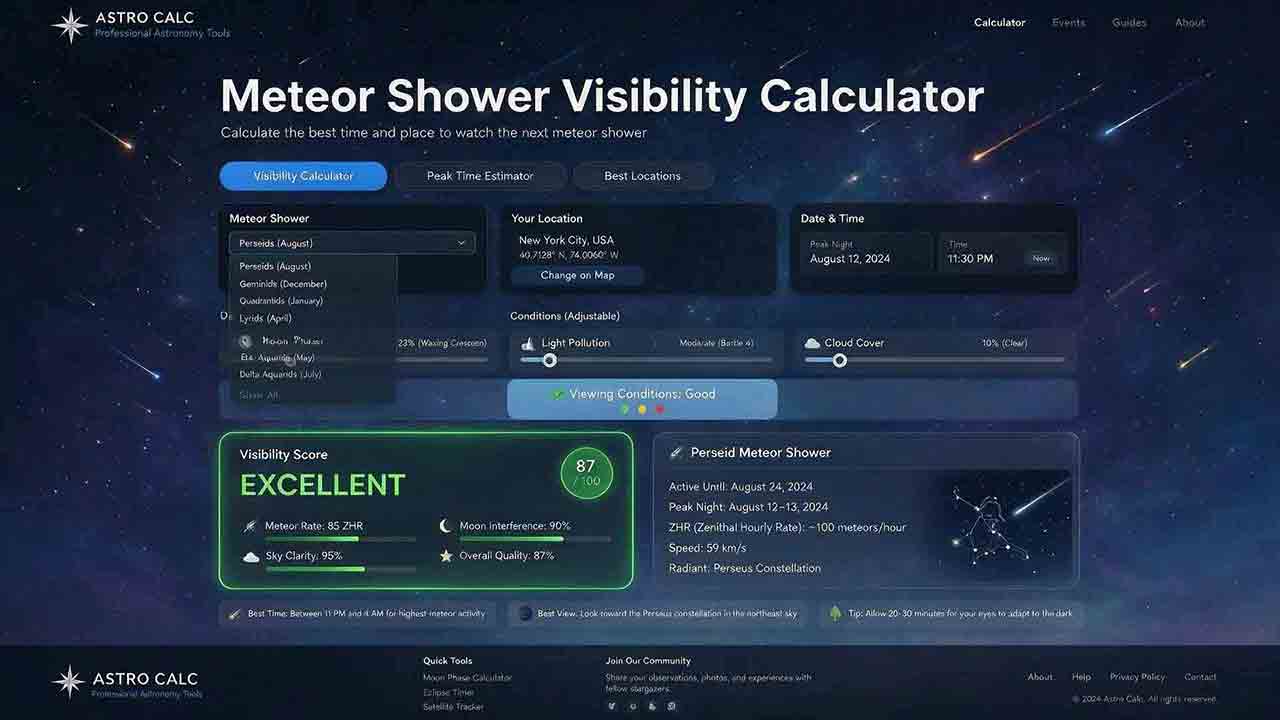
This guide explains how to use a meteor shower visibility calculator to identify a locally favorable observing window instead of relying only on a published peak time or Zenithal Hourly Rate. It covers activity periods, radiant altitude, astronomical darkness, Moon timing, weather, limiting magnitude, population index, and the distinction between named-shower members, sporadic meteors, and meteors from overlapping showers. The article introduces two original planning tools: the Five-Layer Meteor Test and the Meteor Opportunity Window, which calculates the overlap between activity, radiant, darkness, Moon, weather, and session constraints. A reproducible cross-midnight example compares illustrative 20° and 40° radiant thresholds, producing windows of 2 hours 20 minutes and 1 hour 40 minutes. Practical guidance addresses moonlight, viewing direction, dark adaptation, calculator disagreements, troubleshooting, and responsible site selection, supported by NASA, IMO, AMS, and U.S. Naval Observatory sources.
Planet Visibility Finder: Which Planets Can You See Tonight?
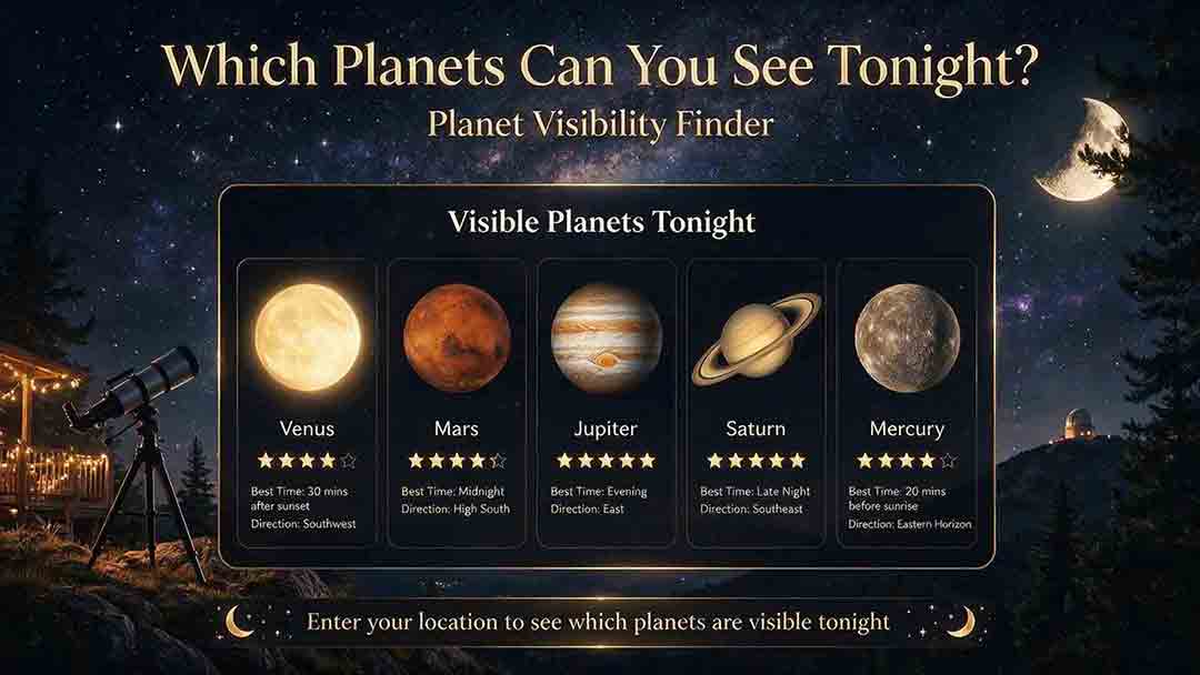
This guide explains how to use a planet visibility finder to decide which planets are realistically observable for a selected date, time, and location. It shows why an object being above the horizon does not guarantee visibility and explains the roles of altitude, azimuth, apparent magnitude, solar elongation, twilight, moonlight, weather, and local obstructions. Readers learn which planets are normally visible without a telescope, how Mercury and Venus differ from the outer planets, and why two finders may produce different results. The article introduces an original Four-Gate Visibility Test covering position, solar light, detectability, and site timing, plus a reproducible Useful Viewing Window calculation. A hypothetical example compares a 1-hour-26-minute naked-eye window with an 18-minute higher-altitude telescope window. Practical troubleshooting, safety guidance, and NASA, USNO, and JPL sources support the planning method.
Astronomical Twilight Calculator: When Does the Sky Become Dark?
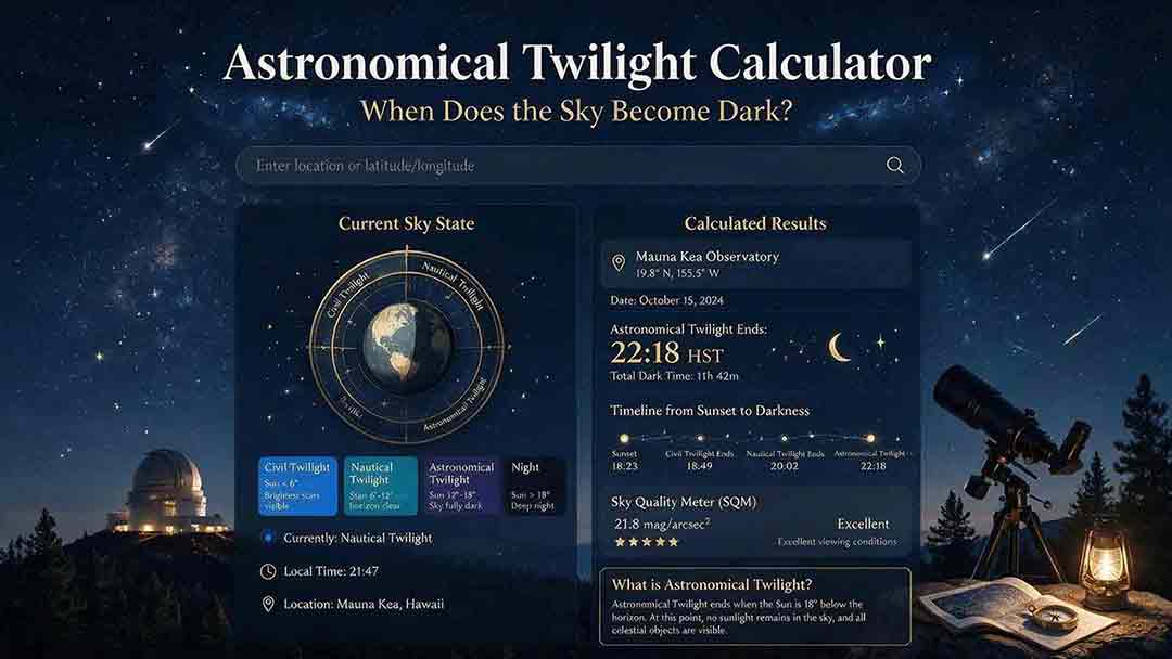
This guide explains how to use an astronomical twilight calculator to identify the end of evening astronomical twilight and the beginning of morning astronomical twilight for a selected date and location. It distinguishes sunset, civil dusk, nautical dusk, astronomical dusk, and the Sun-below-18° interval while clarifying that solar geometry does not guarantee a visibly dark sky. Readers learn how latitude, season, timezone, daylight-saving rules, moonlight, skyglow, clouds, haze, and high-latitude conditions affect practical planning. The article introduces two original tools: the Darkness Margin, which calculates how much of a session falls inside the Sun-below-18° interval, and a Task Threshold Matrix that matches observing goals to practical twilight stages. A worked cross-midnight example produces a 1-hour-48-minute dark interval. Troubleshooting guidance, planning checks, and authoritative USNO, NOAA, and National Park Service sources support the method.
Explore More Topics
Astrophotography Storage Calculator
This guide explains how to estimate storage for astrophotography capture, processing, and backup without relying on misleading megapixel shortcuts. It compares measured-file, uncompressed-array, and bitrate methods; distinguishes mean, median, high-percentile, and maximum file-size statistics; and explains decimal versus binary storage units. Readers learn how FITS headers, padding, HDUs, RAW compression, calibration frames, RGB conversion, drizzle, mosaics, caches, and temporary files affect project size. Original planning tools include the Four-Bucket Storage Ledger, the Capture–Process–Protect Check, and a clearly defined storage expansion ratio. Worked examples show how to calculate peak logical data, project-relative headroom, complete-copy footprint, media count, write rate, and transfer time. The article also covers integrity verification, backup limitations, retention decisions, and troubleshooting. It is designed to help astrophotographers build realistic capacity plans for single sessions, multi-night projects, planetary video, star trails, and long-term archives.
Star Trail Exposure Calculator
This guide explains how to calculate star-trail exposure time from Earth’s sidereal rotation, stellar declination, and local image scale. It distinguishes polar sweep, declination-adjusted sky-path length, projected pixel length, recorded sweep, missing sweep, and the full start-to-end span of a stacked sequence. Original tables compare trail lengths at several declinations, quantify one-second frame gaps at different image scales, and show how recorded time, gap time, duty cycle, and sequence sweep relate. The Trail–Frame–Sequence Check provides a practical framework for separating celestial geometry, per-frame reliability, and sequence continuity. Worked examples also address the celestial-pole edge case, local WCS-based pixel movement, frame-count limits, long-exposure noise reduction, and the difference between a single exposure and stacked frames. Readers can use the article to plan smoother trails, avoid misleading sequence calculations, and verify expected motion with native-resolution test images.
Camera Field of View Calculator
This guide explains how to calculate horizontal, vertical, and diagonal camera field of view from the recorded active sensor dimensions and effective focal length. It distinguishes physical focal length from crop-factor comparisons, shows why aspect ratio and target rotation affect framing, and provides independently calculated reference tables for common sensor sizes and focal lengths. The original Frame Envelope Check separates ideal frame geometry, the target envelope, and the usable frame retained after dithering, registration, distortion correction, and cropping. Worked examples demonstrate target occupancy, maximum permitted focal length, rotated bounding boxes, and mosaic panel counts with overlap. The article also explains radians versus degrees, crop and stabilization modes, focus breathing, rectilinear versus fisheye projection, and plate-solving verification through a celestial WCS. Readers can use the formulas, margin budget, troubleshooting table, and framing checklist to plan wide-field compositions, small-target imaging, or mosaics without treating a mathematical edge-to-edge fit as a guaranteed final frame.